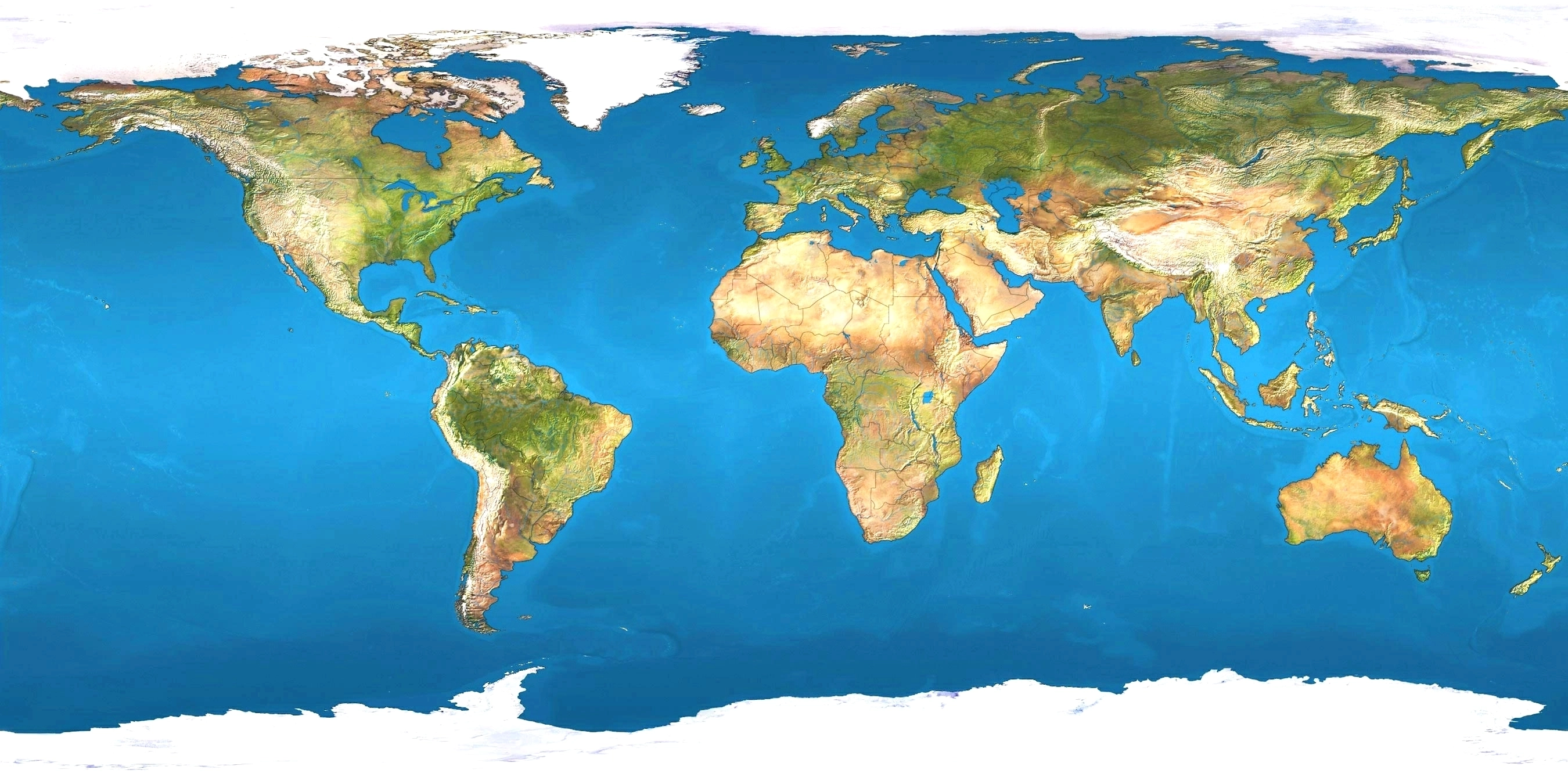
caribbean island nations


central america


Guyane, Guyana, Panama, and Suriname are included as parts of the Caribbean due to their political and cultural ties with the region.


Situated largely on the Caribbean Plate, the region has more than 700 islands, islets, reefs, and cays.
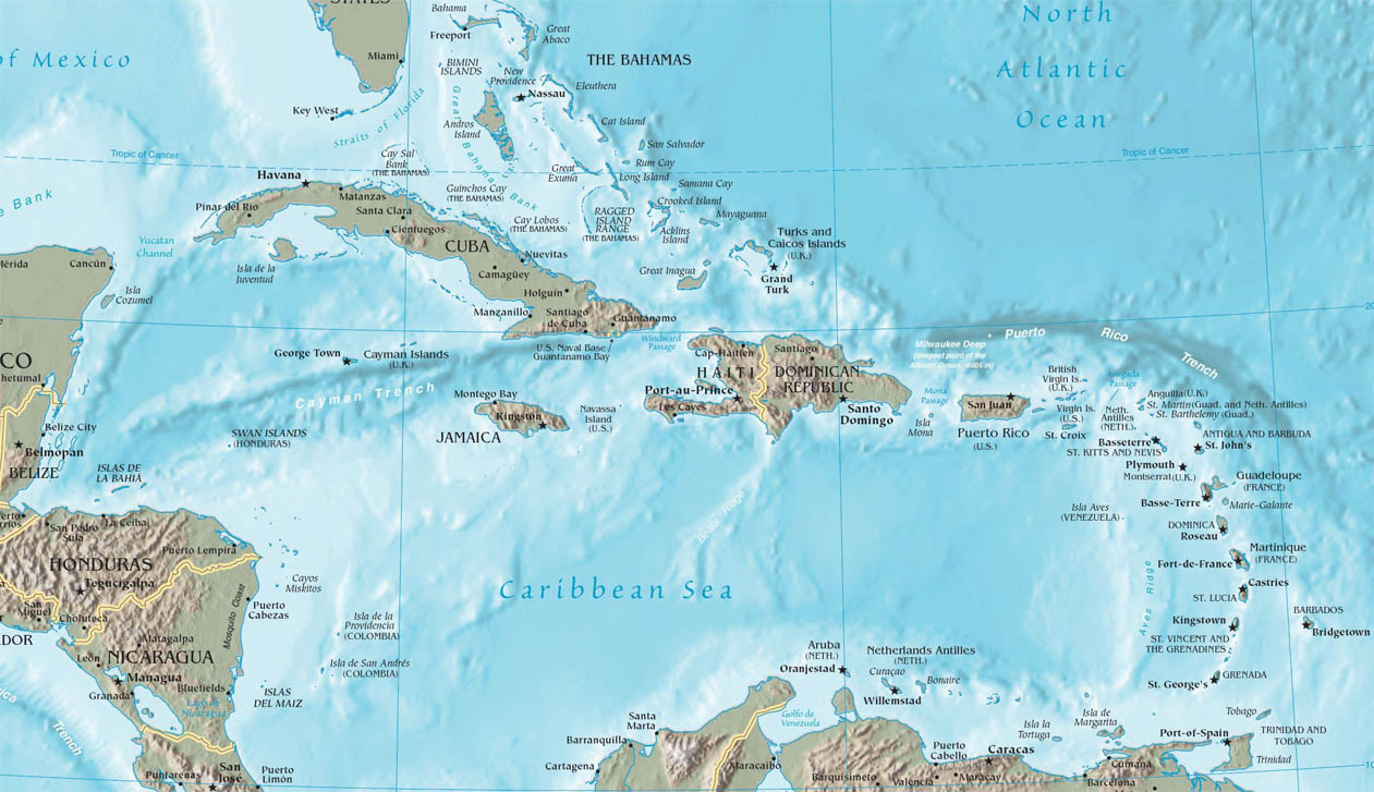
Island arcs delineate the northern and eastern edges of the Caribbean Sea:
the Greater Antilles in the north and the Lesser Antilles in the east and south.
the greater antilles
The Greater Antilles is a grouping of the larger islands in the Caribbean Sea.
It includes Cuba, Puerto Rico, Jamaica, Navassa Island, and the Cayman Islands.
Six island states share the region of the Greater Antilles, with Haiti and the Dominican Republic sharing the island of Hispaniola.
Together with the Lesser Antilles, they make up the Antilles, which along with the Lucayan Archipelago, form the West Indies.